1.Introduction
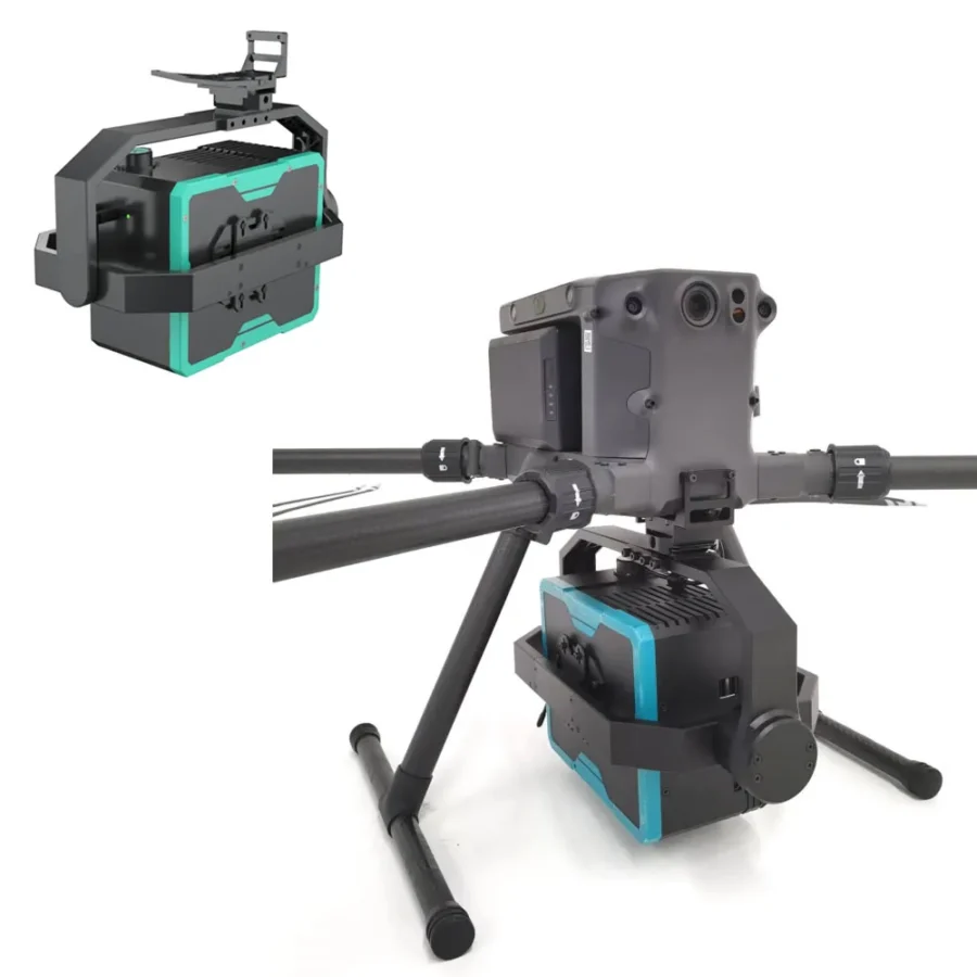
The KHY100 UAV-borne hyperspectral system adopts cutting-edge hyperspectral imaging technology to fully extract and utilize the unique spectral signatures of different materials. Combined with a high-definition camera for capturing high-resolution images, it enables comprehensive detection of qualitative, quantitative, temporal, and spatial information — making it an integrated remote sensing device that unites both imagery and spectral data in one system.
The UAV-borne hyperspectral system integrates a hyperspectral camera and a high-definition camera, synchronously acquiring multi-dimensional data during operation. It supports real-time mission monitoring and remote control. With a built-in high-performance processing unit, the system can perform real-time reflectance calculations and inversion analysis of ground objects. It can be widely applied in scenarios such as water environment monitoring, smart agriculture, forestry surveys, target recognition, and military camouflage detection, meeting the diverse needs of various industries.
2.Features
- Spectral resolution better than 2.8 nm, enabling precise analysis of various ground object spectral characteristics.
- Large-format CMOS hyperspectral camera supporting up to 1,920 spatial channels and 1,200 spectral channels.
- Onboard control and acquisition system with a built-in 1 TB SSD for worry-free data storage.
- Hardware-synchronized high-definition visible-light camera with 15-megapixel resolution, supporting high-precision orthophoto stitching.
- Built-in gimbal stabilization system for push-broom imaging without UAV hovering, ensuring high operational efficiency.
- Deeply integrated with UAV platforms, requiring only a single data cable for power supply and data communication; GPS information is acquired simultaneously and matched line-by-line with hyperspectral data.
- Supports remote intelligent control for ease of operation, avoiding inefficient flight missions.
- Capable of real-time rendering of multi-band spectral composite images, as well as real-time monitoring of hyperspectral acquisition and spatial point spectral curves.
- Preloaded with over 20 commonly used indices such as NDVI, with support for custom band operations and various spectral analysis functions.
- Capable of inverting parameters such as chlorophyll, total nitrogen, total phosphorus, ammonia nitrogen, permanganate index, and suspended solids in water quality monitoring.
3.Application Fields
- Surface water monitoring
- Aquaculture water quality monitoring
- Water ecological protection area monitoring
- Post-natural disaster water quality assessment
- Emergency water pollution incident response