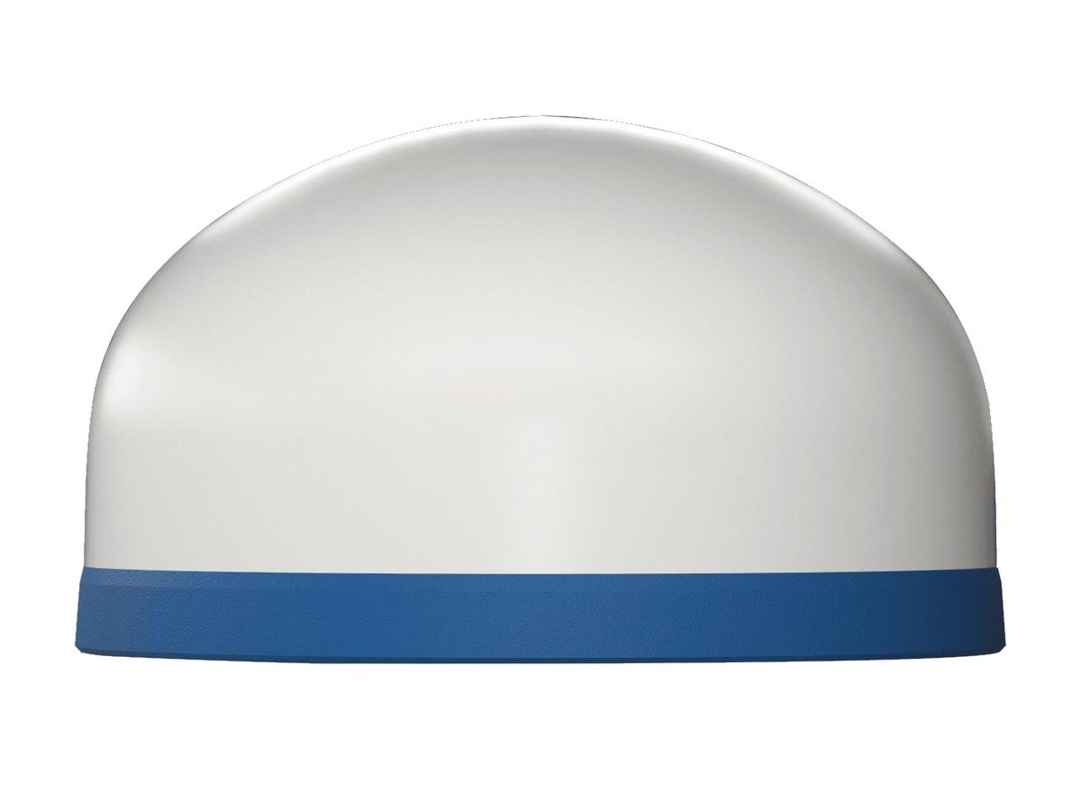
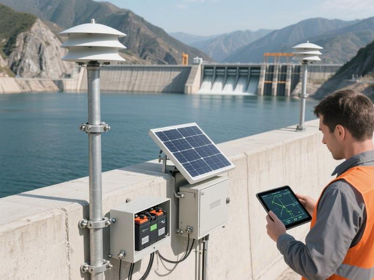
The TN531 measures tiny movements of structures and slopes with centimetre accuracy. It has its antennas built in and is designed for long-term outdoor deployment on dams, bridges, water gates and hillsides.
At a glance
- Multi-constellation high-precision GNSS with RTK support
- 6-axis IMU to keep positioning accurate when the signal is weak
- Built-in 4G and GNSS antennas, IP68 rated, easy to deploy
- 1 RS485, 1 RS232 (debug) and 1 pulse input to connect other IoT sensors
- Supports RTCM 3.X and NMEA protocols for RTK observation
Where it is used in Malaysia
- Slope and landslide monitoring on hillsides and roads
- Dam, reservoir and water gate monitoring
- Bridge and building structural health monitoring
- Mining, quarry and construction site monitoring
- Flood and river bank monitoring
See it in use
How it works
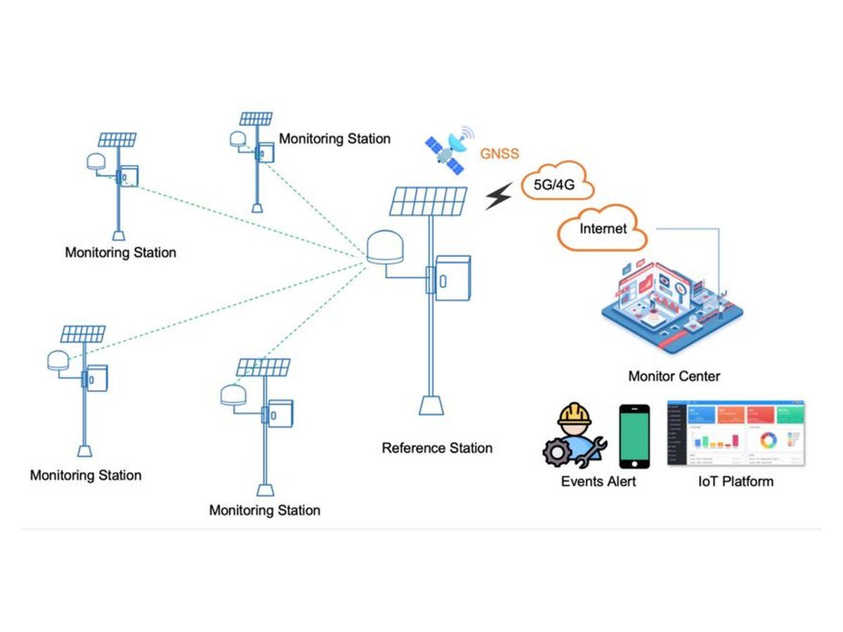
The receiver continuously measures its position with multiple satellite systems, corrects it using RTK, and sends the results over 4G to a monitoring server. A small change in position can warn you early of movement, and the extra RS485 port lets you add other sensors such as rain or tilt gauges.
Order from AIBS
Ai Business Solutions Sdn Bhd supplies this product in Malaysia. Send us a quote request with the model, the quantity, the network (4G, 5G or LoRa) and the devices you want to connect, and we will reply within one working day.